
The Masterplan
Explore the Sector H layout.
Zoom, pan and select areas to see how the proposed development is arranged around its central walking park. On a phone, pinch to zoom and tap a marker for details.
Proposed development visualisation — heights indicative. Markers describe illustrated areas, not plot boundaries.
Reading the visualisation
What the aerial view shows — and what it doesn't.
The aerial image is a proposed development visualisation. It illustrates the intended composition of Sector H: a long central landscaped walking park, landscaped parks at both ends, low-rise blocks, taller residential apartment buildings, brown-toned towers of varied heights, internal roads, parking areas and planted streets.
It is not an engineering drawing or an approved site plan. Building heights are indicative, and the image does not show plot boundaries, plot numbers, sizes or permitted uses.
Visualisations illustrate the development concept. Refer to the original site documents and sales team for current plot details and specifications.
Request the site documents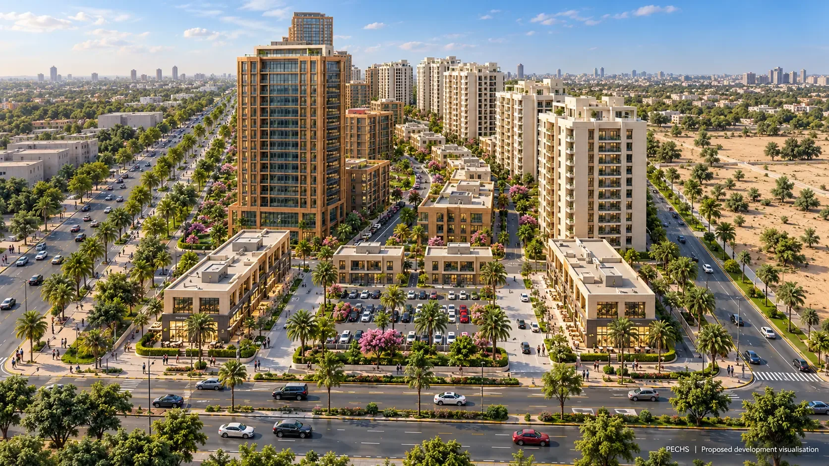 Proposed development visualisation
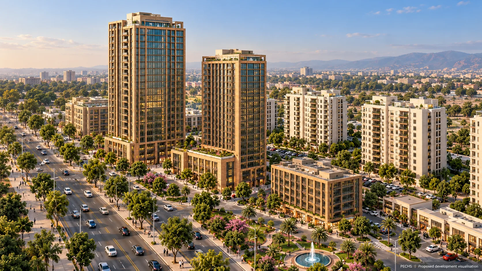 Proposed development visualisation
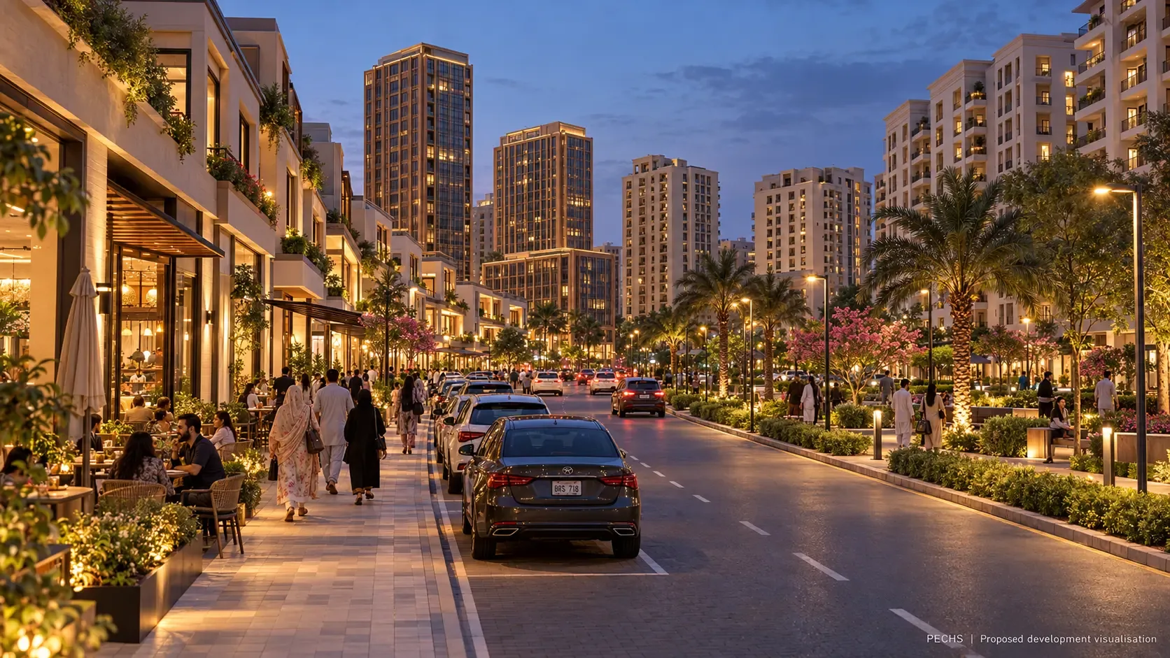
Sector H · PECHS Islamabad
Find Your Place in PECHS Islamabad.
Tell us what you are looking for and SanAscendant will share current project information.